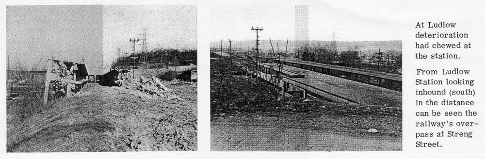
These photos of the Ludlow Ave. subway station were taken just prior to construction of the Millcreek Expressway.
In 1947, Cincinnati developed an expressways master plan which dubbed what was to become I-75 the "Millcreek Expressway". This included the Wright-Lockland Highway and the extension south to Elmwood Place that had broken ground that same year. Although this segment was completed quickly, further progress south from Elmwood Place into Cincinnati was impeded by the city of St. Bernard, which did not agree on an alignment through its borders until the mid 1950's. Between St. Bernard (mile 7) and the Ludlow Viaduct (mile 4), the new expressway was planned to run mostly along the graded surface route of the defunct subway, which had become overgrown since construction halted in 1925. Land to either side of the subway route between Ludlow Ave. and Mitchell Ave. had been intended for an extension of Central Parkway north to Mitchell Ave.; instead this strip of land as well as the subway earthworks were to be used for the new expressway, sealing the coffin for the subway project. The Clifton Ave. and Ludlow Ave. elevated subway stations were demolished and no trace of the subway route remains in this area.
These photos of the Ludlow Ave. subway station were
taken
just prior to construction of the Millcreek Expressway.
The 2.5 mile, $7.3 million expressway segment between Mitchell Ave. and Central Parkway opened on Dec 28, 1958. It included the Mitchell Ave. (Exit 6) interchange and terminated at Central Parkway near the Ludlow Viaduct. There was also an interchange with Colerain Ave. along Spring Grove Ave. -- this ramp was later turned into the I-75 north to I-74 west ramp.
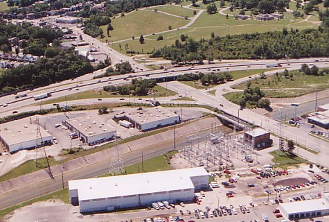
The Mitchell Ave. interchange is one of the few diamond
interchanges along I-75.
The Mill Creek is at center and Vine Hill Cemetary is
visible at top.
(Larry Stulz
photo)
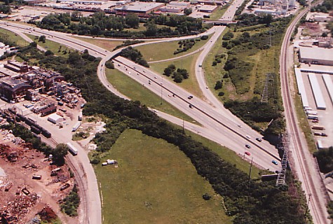
The gap between Mitchell Ave. and Elmwood Place was not filled until 1959. This segment included construction of the first leg of the Norwood Lateral, running a half mile east of the Millcreek Expressway to Reading Rd., including an interchange with Paddock Rd. It appears as though this stretch was thought of as being part of the Millcreek Expressway rather than the Norwood Lateral until the lateral completed to I-71 in the early 1970's.
Recent view of the I-75/Norwood Lateral interchange [Larry
Stulz photo]
View of I-75 just south of the Paddock Rd. interchange.
[Larry Stulz photo]
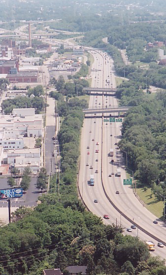
At the close of the 1950's, the Millcreek Expressway along with the connecting Wright-Lockland Highway measured ten miles in length, with eight interchanges. The expressway terminated 4 miles north of downtown at the Ludlow Viaduct, with all expressway traffic routed onto Central Parkway. This old six lane stretch of expressway has gone mostly unchanged since its original construction, and its crude early specifications do not meet modern interstate standards. Most noticable to the driver is the road's needlessly hilly and curvy route, which closely follows the winding route of the old canal. The short hills and frequent over-and-under alternation between overpass and underpass was a cost saving measure -- planners did not anticipate that these 3% grades would so adversely affect traffic flow and safety as much as they do.
Other major problems with this stretch include the narrow emergency shoulders and low clearance. The narrow shoulders are not wide enough for large trucks to pull off. Altogether these problems have contributed to what is the most congested stretch of roadway in Ohio, carrying a tremendous volume of traffic (150,000 - 175,000 vehicles daily) on just six lanes. Like other old urban expressways in old American cities, I-75 is lined with buildings, cemetaries, and other obstacles of every description, and cannot be easily or cheaply improved.
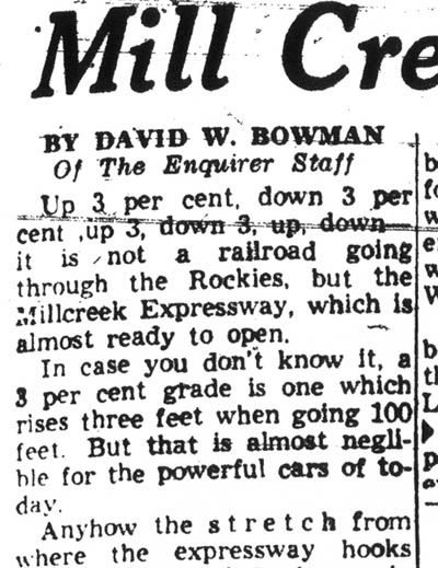
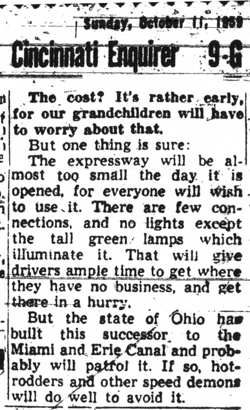
Here is an especially interesting clip from 1959, just prior to the opening of the Millcreek Expressway from the Ludlow Viaduct to Paddock Rd.:
1. 1940's
2. 1950's
3. 1960's
4. 1970's-1990's
5. Recent
News and Future Plans