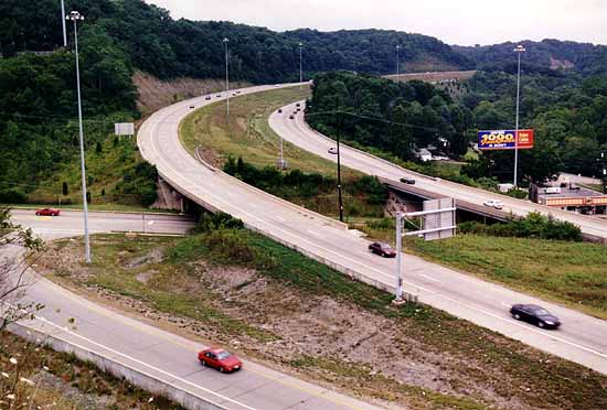
A view of the partial Montana Rd. interchange from Baltimore Ave. There is no entrance to
west I-74 or exit from I-74 eastbound at this spot.
West of the Colerain Ave. interchange, I-74 follows thewest fork of the Mill Creek into the hills of Mt. Airy Forest, one of the largestcity parks in the United States. The area was logged in the middle1800s and subsequent erosion made the hillsides unsuitable for farming. Erosion continued, and the citybegan acquisition of the land for reforestation in 1911. Most of the park's 1,469 hilly acres were acquired by 1921, and many ofits roads, retaining walls, and shelters were built in the 1930s as partof New Deal programs.
A view of the partial Montana Rd. interchange from Baltimore Ave. There is no entrance to
west I-74 or exit from I-74 eastbound at this spot.
I-74 Montana Rd. interchange, looking west. [LarryStulz photo]
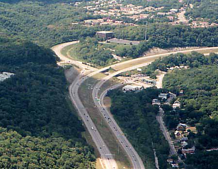
View from an office building overlooking the partial Montana Rd. interchange-- Baltimore Ave. and the vantage point of
the above photo can be seen on the right of this photo.
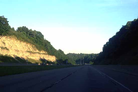
Driving eastbound towards downtown Cincinnati in the I-74 cut throughMt. Airy Forest. The Montana Rd.
interchange is a mile ahead.
That I-74 managed to be routed straight through a publicpark reflects the pre-environmentalism era in which it was built. Had construction been delayed just a few years, newly formed environmentalorganizations would have caused delay to the project, and might have evenbeen successful at a scrapping of plans. There does not appear tobe a suitable alternate alignment to the southwest around the park, meaningthat I-74's descent to the Mill Creek Valley might have been made to theeast, between Colerain Ave. and Hamilton Ave. along the proposed alignmentof the never-built Colerain Expressway.
1. I-74/75Interchange
2. Northside/ Colerain Expressway Interchange
3. Mt.Airty Forest
4. I-74points west
5. I-74Extension?