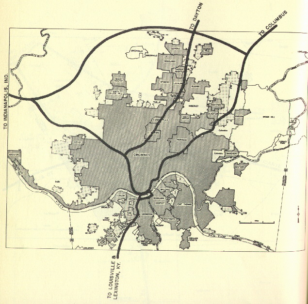
1955 map of proposed interstate highways, prior to any construction.
A comprehensive plan for regional expressways was developed in the city's 1947 Master Plan. It incorporated previously proposed singular expressways, added several more, and produced a design similar to what was actually built. The plan consisted of 4 radials, 3 laterals, and a circle expressway around the undeveloped suburban fringes. Planning continued into the 1950's, so that construction could begin as soon as promised federal funding was made available. Five of the expressways planned in 1947 were eventually designated as interstate highways, and so received 90% federal funding. All originally planned routes were built by 1985, totaling approximately 150 miles. The I-275 loop is responsible for 88 of those miles, more than all of the other expressways within its orbit combined. The interstates are complimented by approximately 25 miles of state funded expressways within the I-275 loop. 10 miles of what was eventually designated as I-75 were built by the state in the 1940's and 50's, prior to the passage of the Federal Insterstate Highways Act in 1956.
I intend to develop extensive sections for each expressway, with dozens of photos. I hope to complete the individual expressway sections this upcoming summer, so check back then. In the meantime here are a few maps and photos:
1955 map of proposed interstate highways, prior to any construction.
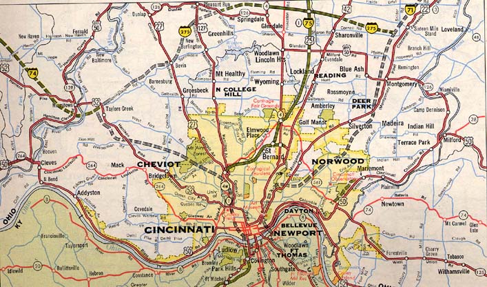
1962 map, showing completed portions of I-75 and planned routes for the others.
The route of I-471 does not appear on this map, nor does much of I-275.
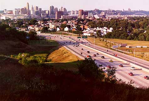
RECENT PHOTOS
I-75 near the Cross County Hwy / Galbraith Rd.
interchange.
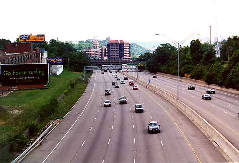
I-71 viewed from the McMillan St. overpass
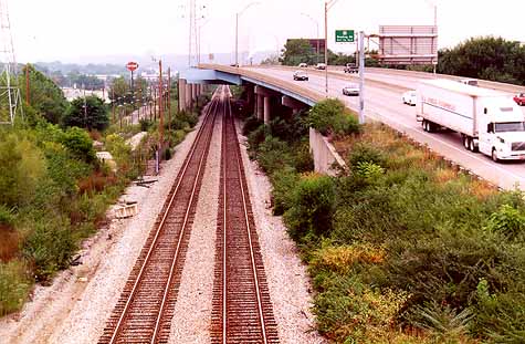
The Norwood Lateral and B&O mainline viewed from the
Section Rd. overpass.
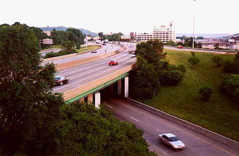
I-74 at the Montana Ave. interchange.
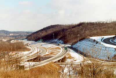
The I-74 / I-75 interchange.
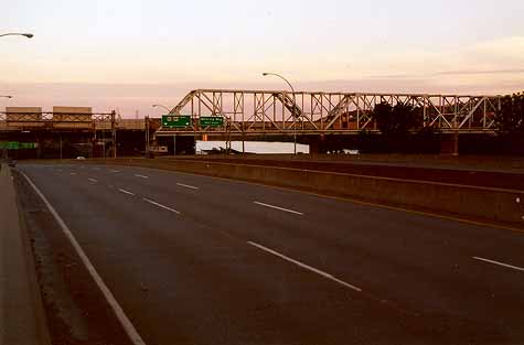
The 6th St. Expressway, near the Cincinnati Southern
Bridge.